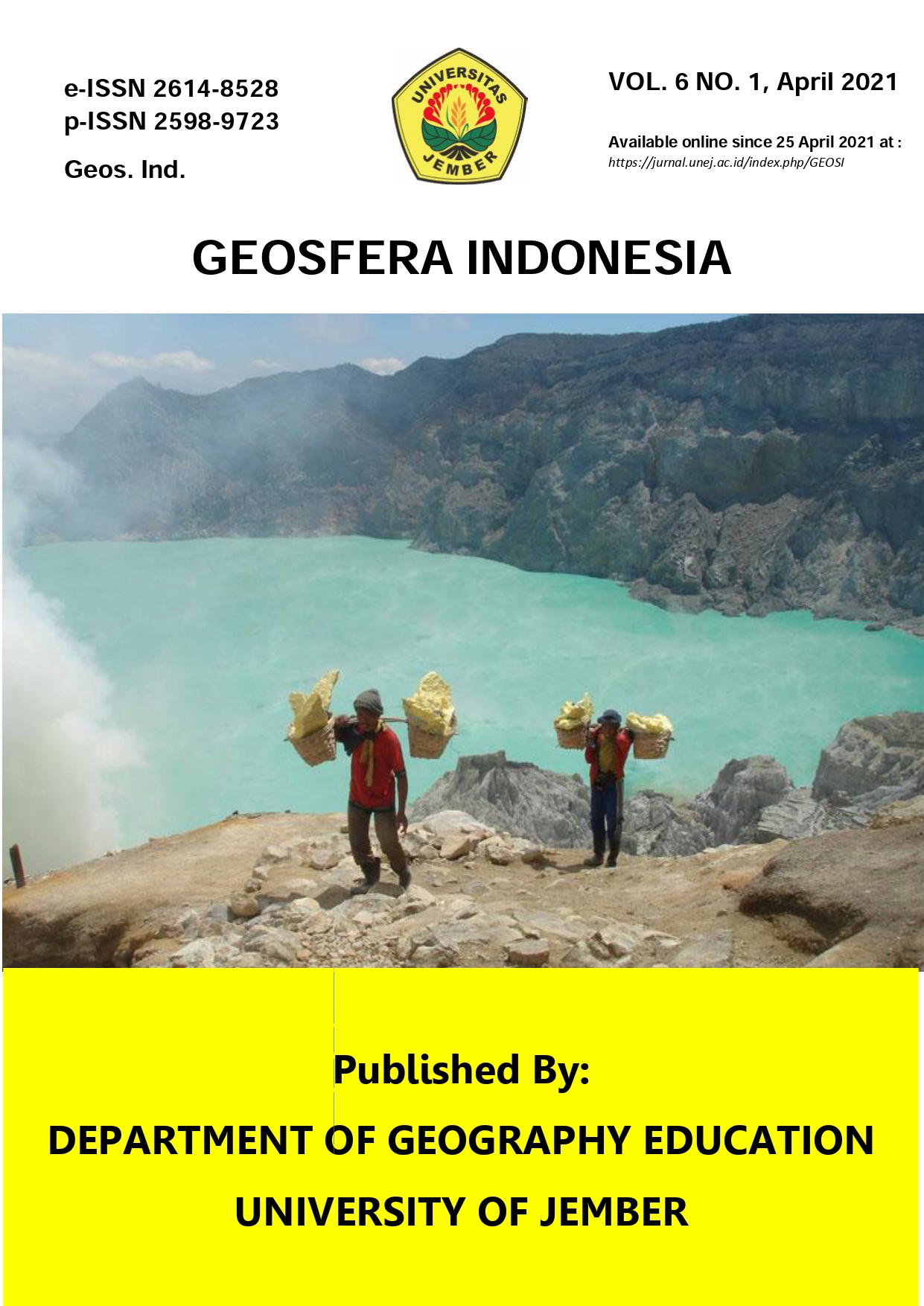
Assessment of Water Balance at Mayang Watershed, East Java
DOI:
https://doi.org/10.19184/geosi.v6i1.23111Keywords:
Water balance, Water supply, Water demand, Mayang, Watershed, WEAPAbstract
Mayang Watersheds frequently hit by floods during the rainy season and drought during the dry season. This study aims to assess the water balance by calculating water resource availability and water demand in the Mayang watershed. The Water Evaluation and Planning (WEAP) model was used as the primary tool for the analysis. The supply of water comes only from precipitation. Demand was calculated based on the water demand for irrigation, domestic, urban, industrial, and livestock uses. The unit of time to calculate the water balance is ten days. It means that each month is divided into three-time steps. Analysis of the WEAP is based on the water demand from 2002 to 2019. The results showed that from 3rd December to 1st May, the Mayang river and its tributaries could supply all demand sites up to 100%. However, unmet demand occurs from 2nd May to 2nd December. The highest first unmet demand occurred in October, with 0.67 million m3. The management of water resources, especially in terms of distribution during the rainy season and dry season, must be considered.
Keywords: Water balance; Water supply; Water demand; Mayang; Watershed; WEAP
Copyright (c) 2021 Geosfera Indonesia and Department of Geography Education, University of Jember

This work is licensed under a Creative Commons Attribution-Share A like 4.0 International License
Downloads
References
Agarwal, S., Patil, J. P., Goyal, V. C., & Singh, A. (2019). Assessment of Water Supply–Demand Using Water Evaluation and Planning (WEAP) Model for Ur River Watershed, Madhya Pradesh, India. Journal of the Institution of Engineers (India) - Series A, 100(1), 21–32. https://doi.org/10.1007/s40030-018-0329-0.
Badan Pusat Statistik Kabupaten Jember. (2020). Jumlah penduduk dan Laju Pertumbuhan Penduduk Menurut Kabupaten Kota di Provinsi Jawa Timur. Retrieved from https://jatim.bps.go.id/statictable/2020/10/29/1324/jumlah-penduduk-dan-laju pertumbuhan-penduduk-menurut-kabupaten-kota-di-provinsi-jawa-timur-2010-2016-dan-2017.html.
Badan Informasi Geospasial. (2019). Online Tidal Prediction. Retrieved from http://tides.big.go.id/demnas/.
BSN. (2015). Penyusunan Neraca Spasial Sumber Daya Alam – Bagian 1 : Sumber Daya Air. Jakarta : Badan Standardisasi Nasional.
Dewi, C. R., Priyantoro, D., & Harisuseno, D. (2014). Tinjauan Faktor K Sebagai Pendukung Rencana Sistem Pembagian Air Irigasi Berbasis FPR Studi di Jaringan Irigasi Pirang Kabupaten Bojonegoro. Jurnal Teknik Pengairan, 3 (4), 1-11.
Dimova, G., Tzanov, E., Ninov, P., Ribarova, I., & Kossida, M. (2014). Complementary Use of the WEAP Model to Underpin the Development of SEEAW Physical Water Use and Supply Tables. Procedia Engineering, 70(C), 563–572. https://doi.org/10.1016/j.proeng.2014.02.062.
Duque, L., & Vázquez, R. (2017). WEAP21 based modelling under climate change considerations for a semi-arid region in southern-central Chile. Maskana, 8(2), 125–145. https://doi.org/10.18537/mskn.08.02.10.
George, O., Metobwa, M., Mourad, K. A., & Ribbe, L. (2018). Water Demand Simulation Using WEAP 21 : A Case Study of the Mara River Basin , Kenya. International Journal of Natural Resource Ecology and Management, 3(1), 9–18. https://doi.org/10.11648/j.ijnrem.20180301.12.
Hakim, F. L. (2019). Interpretasi Citra Satelit Landsat 8 untuk Pemetaan Tutupan Lahan Provinsi Jawa Timur. Jember : Universitas Jember.
Haliem, W., Juwono, P. T., & Priyantoro, D. (2013). Studi Pola Penatagunaan Potensi Air Sumber Pitu di Wilayah Kali Lajing Sebagai Dasar Pengembangan Sumber Daya Air Wilayah Sungai Amprong. Jurnal Teknik Pengairan, 3 ( 2), 230–239.
Ilham, R. K., & Limantara, L. M. (2018). Analisa Neraca Air Daerah Aliran Sungai Gandong Kabupaten Magetan Provinsi Jawa Timur. Jurnal Mahasiswa Jurusan Teknik Pengairan, 1(2), 8.
Kahirun, K., La Baco, S., & Hasani, U. O. (2017). Karakteristik Morfometri Menentukan Kondisi Hidrologi DAS Roraya. Jurnal Ecogreen, 3(2), 105-115.
Kencanawati, M. & Mustakim, M. (2017). Analisis Pengolahan Air Bersih Pada WTP PDAM Prapatan Kota Balikpapan. Jurnal Ilmiah Teknik Sipil TRANSUKMA (Tanah Transportasi Struktur Manajemen Kontruksi), 2(2), 103-117.
Kumalajati, E. (2017). Analysis of the Meteorological Water Balance in Keduang Watershed, Central Java. JURNAL WANA TROPIKA, 5(1).
Le Page, M., Berjamy, B., Fakir, Y., Bourgin, F., Jarlan, L., Abourida, A., … Chehbouni, G. (2012). An Integrated DSS for Groundwater Management Based on Remote Sensing. The Case of a Semi-arid Aquifer in Morocco. Water Resources Management, 26(11), 3209–3230. https://doi.org/10.1007/s11269-012-0068-3.
Mangende, R., Sukarno, R., & Binilang, A. (2016). Perencanaan Saluran Penanggulangan Banjir Muara Sungai Tilamuta. Jurnal Sipil Statik, 4(7), 433–440.
Mashuri, M., Fauzi, M., & Sandhyavitri, A. (2015). Kajian Ketersediaan dan Kebutuhan Air Baku Dengan Pemodelan Ihacres di Daerah Aliran Sungai Tapung Kiri. Jom FTEKNIK, 2 (1), 1–12.
Misra. (2014). Climate change and challenges of water and food security. International Journal of Sustainable Built Environment, 3(1), 153–165. https://doi.org/10.1016/j.ijsbe.2014.04.006.
Purba, N., & Ulama, B. S. S. (2016). Pemodelan Data Curah Hujan Di Kabupaten Banyuwangi dengan Metode ARIMA dan Radial Basis Function Neural Network. Jurnal Sains Dan Seni ITS, 5(2). https://doi.org/10.12962/j23373520.v5i2.16678.
Putri, A., Chairani, S., & Ichwana. (2016). Analisis Neraca Air Permukaan Sub DAS Krueng Khee Kabupaten Aceh Besar. Jurnal Pertanian Unsyiah, 1(1), 12–28.
Munajad, R., & Suprayogi, S. (2015). Kajian Hujan–Aliran Menggunakan Model Hec–Hms di Sub Daerah Aliran Sungai Wuryantoro Wonogiri, Jawa Tengah. Jurnal Bumi Indonesia, 4(1), 150–157.
Setiawan, E. B., & Hariyanto, B. (2017). Potensi Daya Dukung Air Meteorik untuk Pemenuhan Kebutuhan Air Domestik Masyarakat di Kabupaten Tulungagung. Swara Bhumi, 4(5), 71–76.
Setiawan, E., Indarto, I., & Wahyuningsih, S. (2019). Analisis Neraca Air Pertanian di Sub DAS Rawatamtu. Jurnal Penelitian Pengelolaan Daerah Aliran Sungai (Journal of Watershed Management Research), 3(2), 175–194. https://doi.org/10.20886/jppdas.2019.3.2.175-194.
Sieber, J., & Purkey, D. (2015). WEAP User Guide. Boston: Stockholm Environment Institute.
Sivakumar, B. (2011). Water crisis: From conflict to cooperation-an overview. Hydrological Sciences Bulletin, 56(4), 531–552. https://doi.org/10.1080/02626667.2011.580747.
Soil Research Institute. (1998). East Java Soil Type Map. Bogor, Indonesia: Directorate General of Forestry.
Subari, S., Joubert, M. D., Sofiyuddin, H. A., & Triyono, J. (2016). Pengaruh Perlakuan Pemberian Air Irigasi pada Budidaya SRI, PTT dan Konvensional terhadap Produktivitas Air. Jurnal Irigasi, 7(1), 28–42. https://doi.org/10.31028/ji.v7.i1.28-42.
Zulkipli, Z., Soetopo, W., & Prasetijo, H. (2012). Analisis Neraca Air Permukaan DAS Renggung Untuk Memenuhi Kebutuhan Air Irigasi dan Domestik Penduduk Kabupaten Lombok Tengah.Jurnal Teknik Pengairan, 3(2), 87–96.
Zuriyani, E. (2017). Dinamika Kehidupan Manusia Dan Kondisi Sumberdaya Alam Daerah Aliran Sungai. Jurnal Spasial, 3(2). https://doi.org/10.22202/js.v3i2.1607.


